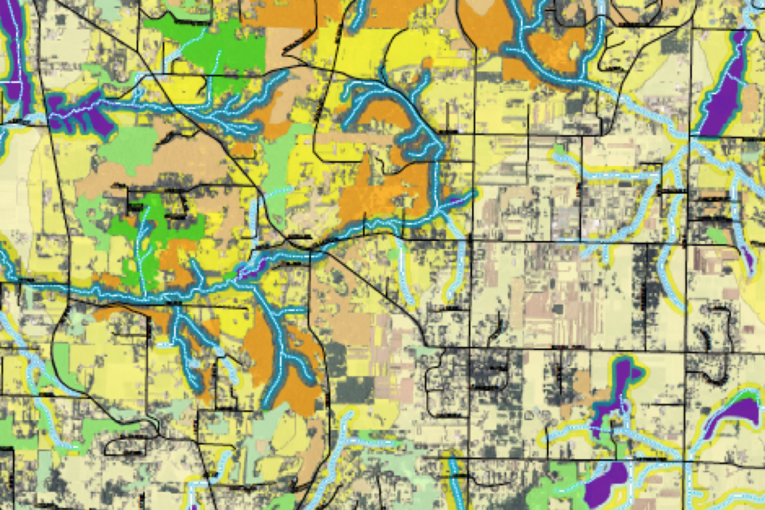
- Developing a GIS model for ranking ecological functions used to quantify aggregate service levels by ecosystem type
- Creating GIS datasets from existing geospatial data layers, including LiDAR
- Writing technical memorandums
- Preparing mapping and reporting products
Develop credit trading methodology for facility planning by quantifying ecosystem services of natural and non-built lands as "public goods" in northern Oregon, United States.
Responsibilities included:
- ArcGIS for Desktop
- Python