- Designing sampling procedures for assessing vegetative cover
- Developing tools for quantifying and reporting changes in vegetative cover
- Writing technical memorandums
- Collecting sample field data on-site
- Creating GIS datasets using sample field data and photo interpretation techniques
- Preparing mapping and reporting products
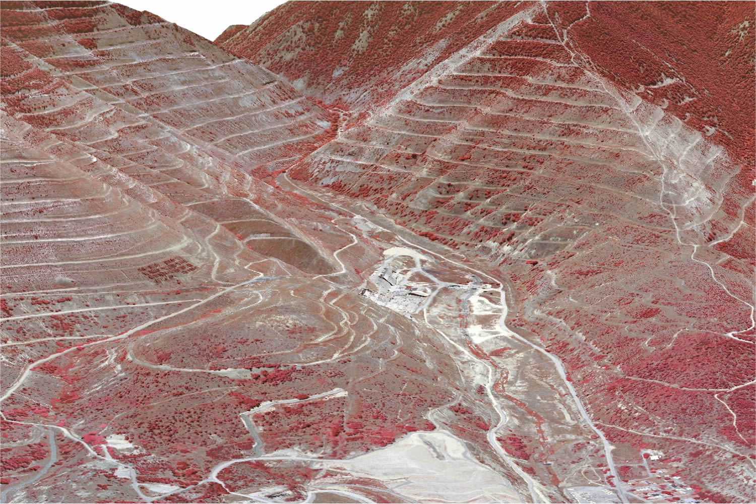
Monitor and analyze re-vegetation efforts on approximately 1,100 acres of denuded hillsides in northern Idaho, at the second largest U.S. EPA Superfund site in the United States.
Responsibilities included:
- ArcGIS for Desktop
- ArcGIS Workstation
- Image processing software
- AML