- Designing GPS data collection and GIS integration work plans
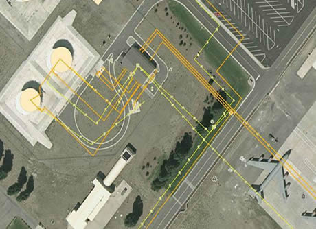
- Developing work flows and tools for processing and integrating field data
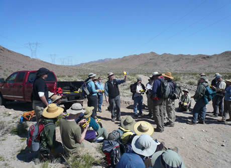
- Providing GPS training and technical support to field staff
- Writing user documentation and technical memorandums for field and office activities
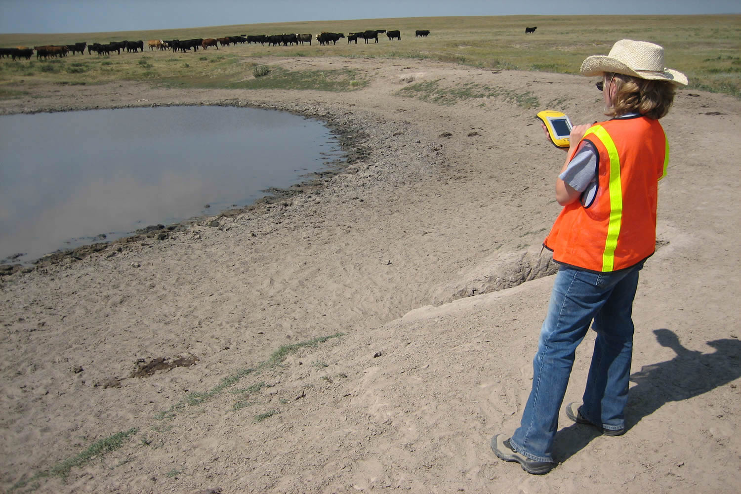
- Collecting field data on-site
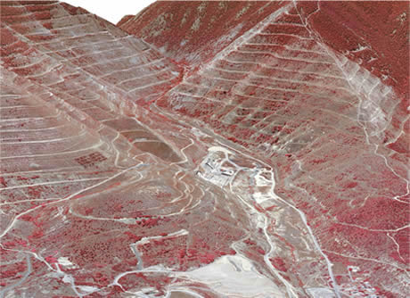
- Preparing mapping and reporting products
Delineate and collect key characteristics for over 1,200 stock water ponds across approximately 1.5 million acres in northern Montana, United States.
Responsibilities included:
- ArcGIS for Desktop
- Trimble GPS Pathfinder Office
- Trimble TerraSync
- Red Hen Systems PixPoint for Esri ArcGIS
- Python